Lost Dutchman SP
It's hard to believe it's been a year! The Superstitions are mysterious and beautiful mountains that jut up out of the valley just begging to be hiked. The ultimate is the Siphon Draw Trail, better known as Flat Iron. Flat Iron is actually the iron shaped plateau with a white stripe through it that stands out as you look up. It was something I looked forward to hiking when we first came here couple of years ago. This is my third time going up, Steve's second. You could read about either of those HERE and HERE. Each had its challenges.

The weather has been quite cooler so we headed out at 9am.
There won't be many words as none are needed to explain how beautiful this area is. Shame many don't get to see what's up in those mountains. The scenery is just stunning! We've been trying different trails into the back country but there are so many to hike and so little time.

The start of the trail about 1/2 mile from the campground.


Here's a side shot to try to show how the elevation starts out. This entire trail is straight up. No switchbacks. Lots of rock scrambling and bouldering. A "difficult" rated hike and not one to do if you're not in really good shape and used to this type of hiking. It has become one of my favorites.

This cactus pointing the way (up).


The trail starts out somewhat smooth, then becomes rocky quickly.

I call this outcropping The Thumb. One of these times were going to hike up to The Thumb late in the afternoon to watch the sunset and view the lights of the valley. We'll use flashlights and headlamps to hike back down.


That's Flat Iron at the top, one of our destinations today.


Steve climbing up The Bowl. It looks smooth but it's really like thousands of tiny steps all scrunched together. It's a pretty pinkish rock. Sometimes there is a waterfall to the left if you can be here just after a rainfall. Parts of it are also smooth so you do have to be careful, especially coming down.


Steve climbing the bowl looking up (L) and me taking a picture of him looking down (R).

It's very hard to convey the steepness of this trail. So most of these pictures are of Steve climbing to give some sense of how much work this is. I'm above Steve in the picture above.

This picture (above) is looking above me at a couple of other hikers.

We had met one guy happily bounding down the rocks with some blood on his wrist. I asked him if he needed anything for it but he insisted no. This guy hikes up here twice a week. Oh, and he is 85. I aspire to be like that and hope I'm still able to hike if I make that age!


After leaving the bowl you're about 1/2 way, but now you are really climbing some steep stuff.


Steve happy to take a breather after that last climb.

Some of these very steep walls, like above, you look at and just think, WTH? It's a crevice that you find your best finger holds and foot holds and just wriggle your way up. This one is about 50 feet up.


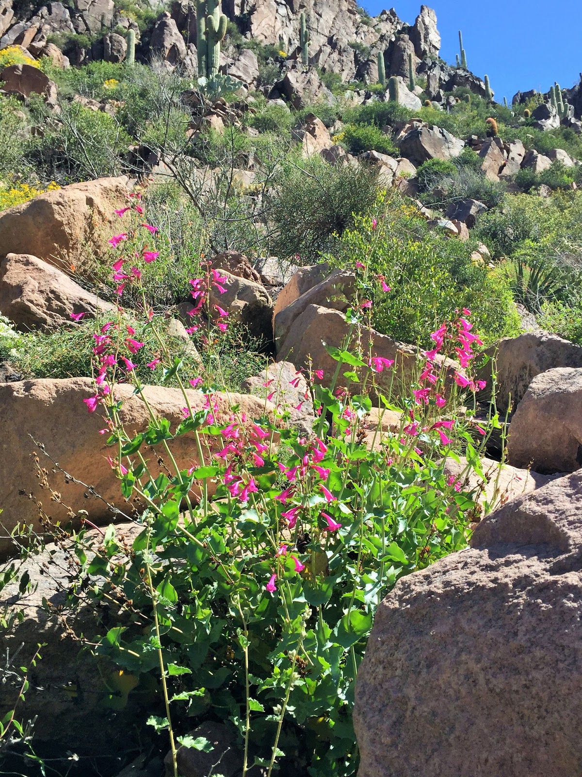

There really is only one way up this canyon and if you follow the draw you'll be ok. Every now and then there will be a white or blue dot (see rock on bottom right) to let you know you're headed in the right direction. On occasion though it's not so obvious and sometimes you'll have to double back and try a different route.

Getting closer!


A look at the valley far below. You can even see the city of Phoenix in the far distance.

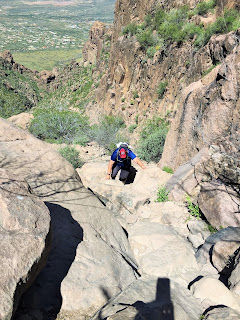

Three sisters we talked to briefly as they were on their way back down. I wish I could get my sister up here!
What do you say, Kris? (I think I already know the answer)

Not so funny part... I was so busy taking pictures we zigged when we should've zagged. The trail didn't look right so I scouted ahead. Which meant a steep climb. At one point I knew we were on the wrong path so I told Steve to head left and I was ok and going to continue up. Partly because I was sure it would reconnect and partly because I was out of my comfort zone and didn't want to attempt to go back down. Going down is much scarier! While I took a break and thought about my next move I could hear and see 3 other experienced hikers that we talked to earlier. They branched off to hike the more difficult area directly around and below Flat Iron. I called out to them if they were still going up and they said yes. They said I could join them, I just needed to cross one slide area and we'd all meet up at the correct spot. Ug. I was able to text Steve to let him know I was ok and what I'd be doing and we'd all meet up at the top in about 100 feet. He had made his way back to the main trail. I was not too crazy about scooting across that slide, but I made it and was thankful for the company. This section was crazy. More steep and more difficult rock climbing than I'd normally ever do. Well we did ok, but the last 5 feet required me to be cliffside. Again, something I'd never normally do. Ben went ahead and above the shelf and showed me where to put my foot, where to swivel and then he'd grab my arm for balance. At that point I'd have to pull myself straight up the last 5 feet without much of a finger hold. Holy Crap! He, myself, his wife and his father all made it. They have hiked this way before but the trail had become very overgrown and meant quite a bit of bushwacking. I would NEVER choose this route or attempt it again!

I only had to wait for Steve for about 20 minutes so I took a couple shots up to the true peak to the left and to the top of Flat Iron to the right (below).


Here comes Steve. This 10 foot wall is nearly vertical and very difficult to get up.

I've always loved this viewpoint of Flat Iron.

Exhausted but happy to be up top finally!

At the tip, looking over the valley! WOW!! Makes it all worthwhile!

A panoramic looking over the edge.

We knew there was a type of Geocache hidden up here called an Earthcache. It meant hiking about another 1/2 mile straight up to the actual peak above Flat Iron in the Spires. Steve was still tired so up I went. I needed an altitude reading and a picture.

It was just gorgeous going up. Looked like something that could be in Jurassic Park.

I had to find my way through brush trying not to get stuck with the saber-like knives of the Agave and the other prickly cacti up here. Some spots involved squeezing through small openings in the rocks and some more scaling. I found out later that I really had used up my store of energy doing this and that I'd probably be hurting on the way down.


I didn't take many pictures going back down as I was just too tired and we had plans that if we could still move, we'd go to Wing Night at a nearby bar. We were VERY hungry!


Not too much further, maybe an hour and a half.
It was a great day. I wish we could have stayed a little longer.


